since1993
colophon
148,190 working hours
1,450,000 road kilometers
211,700 km of field work
3,175,500 meters of cumulative ascents (comparable to over a 350 ascents from the sea to the top of Mount Everest)
O about the project www.burger.si
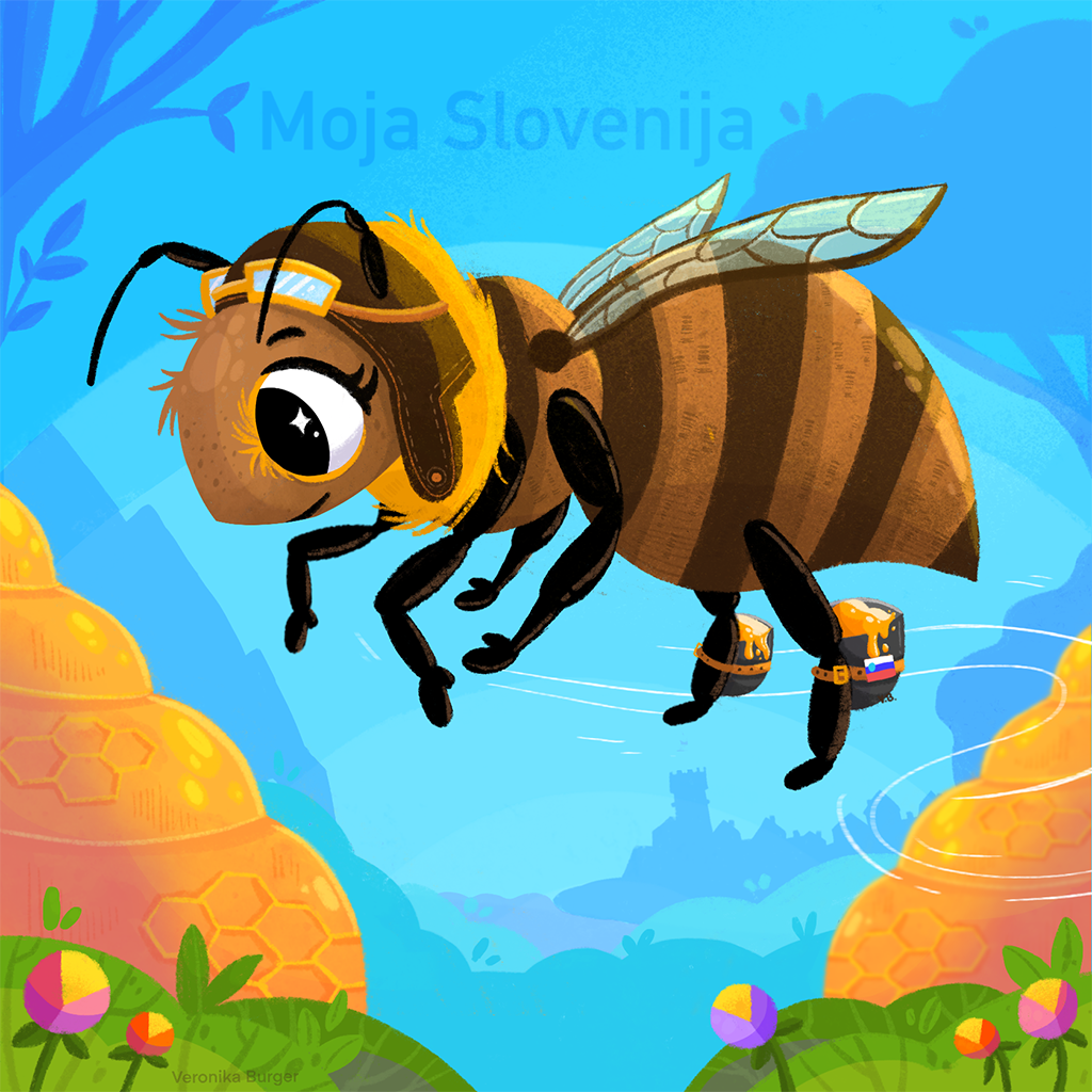
I have implemented a new image on the website www.MojaSlovenija.si, replacing two-decades-old image with my oldest daughters pointing to the rock shaped like a giant girl (Ajdovska deklica) which is visible from Vršič (Julian Alps). Daughters are grown up and meantime, fifteen years ago, the 'third bee' came to my family.
We have the excellent graphic designer at the house - my daughter Veronika Burger illustrated a bee which is traveling and discovering Slovenia - from the mountain peaks of Alps to the Mediterranean Sea and the Pannonian Plain. Small Country in size but great for discovering.
Apis melifera carnica is one of the Slovene symbols.
The Carniolan bee (Apis melifera carnica) or Kranjska sivka is an autochthonous Slovenian species of bee, which means that bees of other breeds may not be bred in Slovenia. The only bee species protected in the European Union - Kranjska sivka - is known among beekeepers as a diligent, hard-working, humble, and meek bee species. Kranjska Sivka Bee has a great sense of orientation. For millennia, it has adapted to our grazing and climatic conditions. She is also a very tame bee, which has contributed to her popularity.
This virtual guide was an attempt to present world landmarks. The goal of this project was to document and visualize the cultural and natural heritage of our planet with interactive 360° Surround Photography and being used with people having limited movement and e-learning. Documented locations help with spatial ability of the specific location.
The idea of the project was from the year 1993 and with the intensive ground work from 1994. The project was first published online in 1996 (within domain burger.si from March 1997) and was updated every week.
This presentation was a part of work in progress. Until July 1st 2011 the web site consisted of over 11.000 surround photographies. Because of its nature, mistakes appear in certain sections, among which are also the English texts. The author apologises for all weaknesses and was striving to improve them. This internet project was hosted on the servers of Academic and Research Network of Slovenia.
author: Boštjan Burger (Master of Science in Geography, University of Ljubljana, Slovenia), March 19th 2022


The author is a "family man" with fair presence and devotion to family. The moto was "family first", than "bussines".
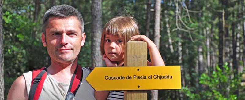
Boštjan Burger with his youngest daughter exploring waterfalls of Corsica in July 2009.