Description
Radoljna is a 15 km long river of Pohorje and the left tributary of the Drava River. The upper part of the river has its springs on the northern part of Rogla and nearby the Lovrenc moor.
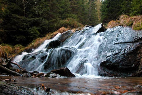
Radoljna River flows in a 5 m high waterfall. This specific waterfall is situated just below the historical site of a tornado from 1963. A left tributary of the Radoljna also features an estimated 5-6 m high cascade.
| Location GPS: | N: 46°28'32" E: 15°20'16" |
| Altitude: | ~ 1300 m |
| River Length: | 15 km |
| Tributary: | Left (5-6 m cascade) |